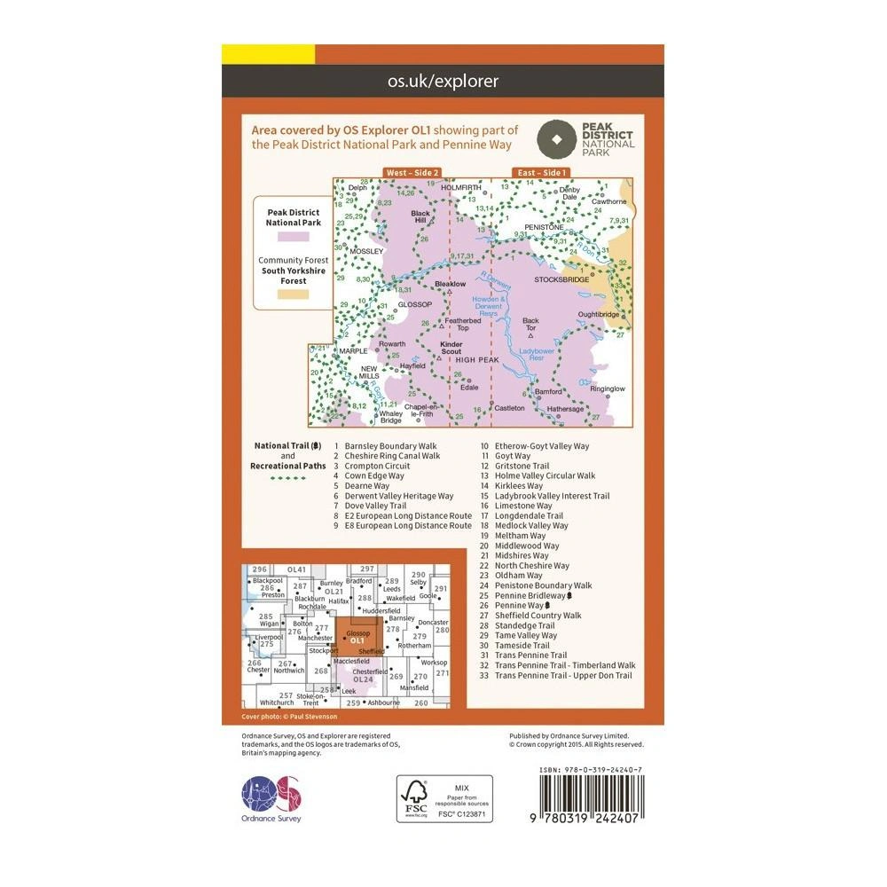
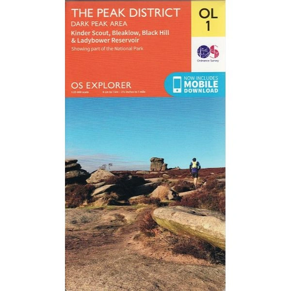
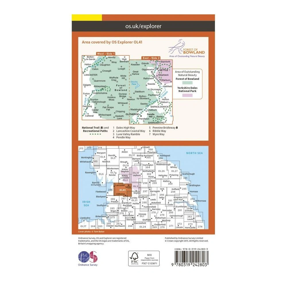
The Peak District - OS Explorer Map OL1.
Trusted walking maps for those doing day trips or longer more challenging hikes. Whether you’re passionate about cycling, mountain biking, walking or horse riding, take the explorer map with you and get the most out of your adventures.
Dark Peak area.
Kinder Scout, Bleaklow, Black Hill & Ladybower Reservoir.
Showing part of the National Park and Pennine Way.
Sheet: OL1 (1:25000)
Specification
- Manufacturer: Ordnance Survey
- Map Area: Peak District
- Map Number: OL1
- Scale: 1:25000
Related Collections
- If this isn't the right area, check out our full OS Maps Collection
- Or for our full range of English maps including Harveys, check out our English Maps Collection